MIS archives: page kept as it was, information may be out of date.
Custom BSB charts for Olex
Custom BSB chart creation service
Olex v.8.0 introduced the possibility to load raster charts in BSB format (.KAP).
Magic Instinct Software with its technical experience in nautical charts (see GeoGarage nautical charts web and mobile platform) proposes an activity of services to Olex users creating BSB files:
- from georeferenced sources: GeoTIFF, ECW, MrSID, GeoPDF formats;
- or non-georeferenced sources: raster files (TIFF, PNG…) or vector (PDF formats) with geographical information about map projection and datum (if the map is not in Mercator/WGS84).
Digital sources can be marine maps but also terrestrial (lakes, rivers) for places where not any vector nautical chart (S-57 or S-63) exists.
We can also use some satellite or aerial imagery sources to create BSB files. Note: for example, MIS creates from Bing Maps some files of several hundreds of megapixels allowing to magnify the same map until scale 19 (so a ground resolution of 0.30 meter / pixel and a map scale at 96 dpi of 1:1,100 approximately).
Important: MIS doesn’t sell KAP maps but just provides the technical service to create BSB charts from material provided by its customer. The customer must take in charge the copyright issues due to the use of the original map document.
Examples of BSB charts created by MIS
Nautical map: 81544, NGA
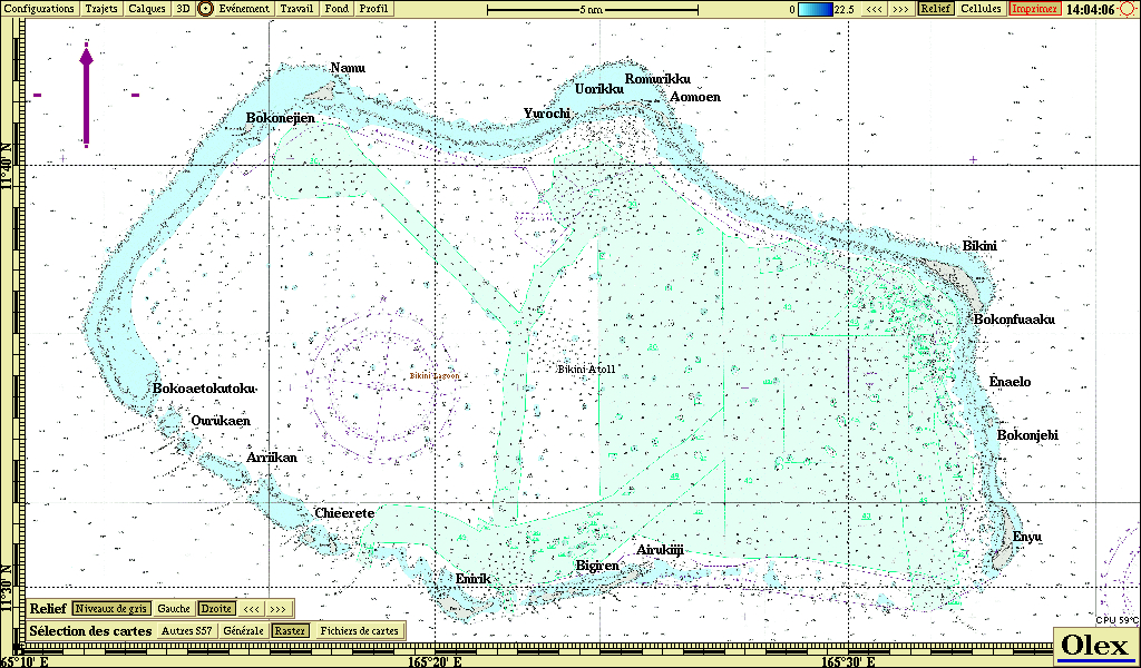
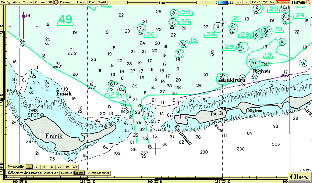
BSB chart in Olex · zoom
Nautical map: 11103, Russian map
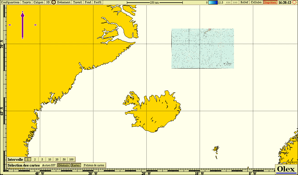
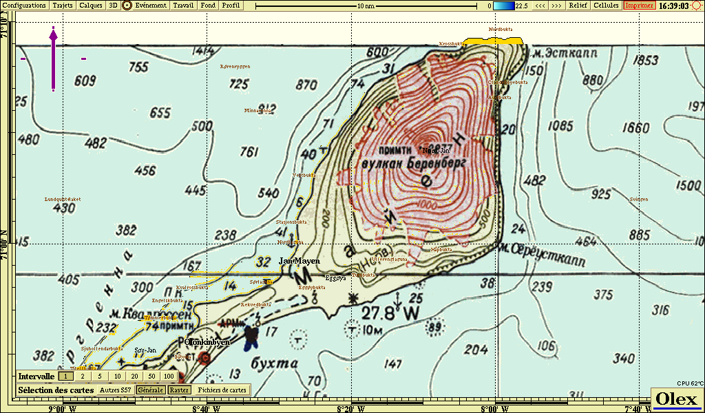
BSB chart in Olex · zoom
Nautical map: Lake Constance, IBN Printing
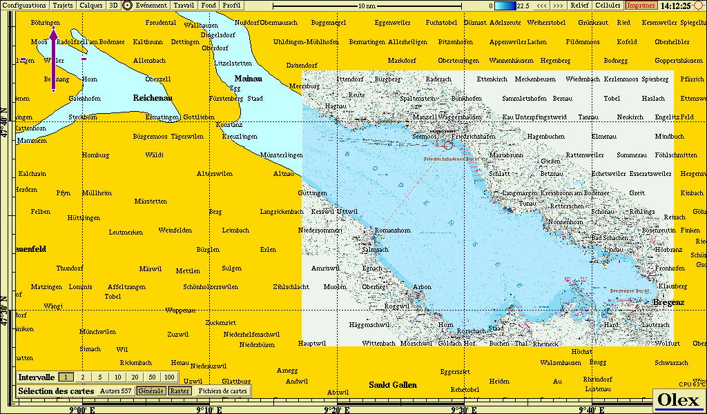
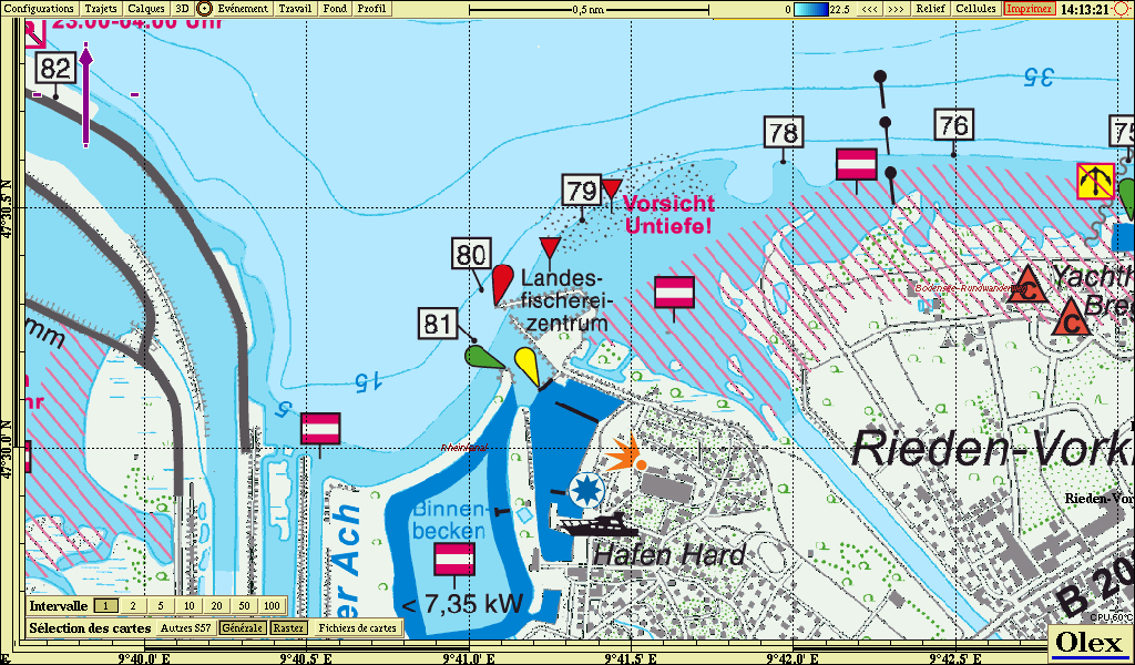
BSB chart in Olex · zoom
Terrestrial map: Swiss Topo Raster 25
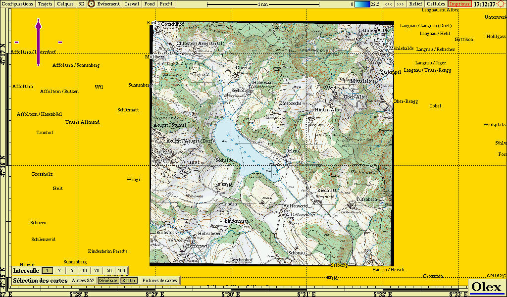
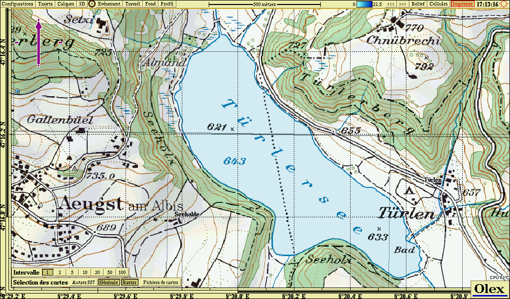
BSB chart in Olex · zoom
Terrestrial map: Swiss Topo Raster 50
File manually georeferenced: 13,024 px x 7,428 px.
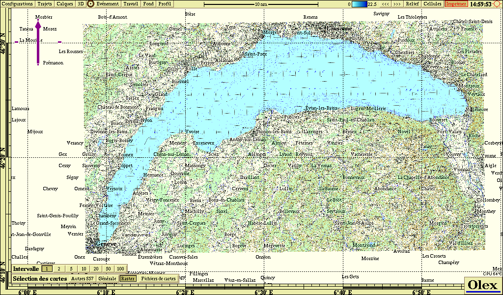
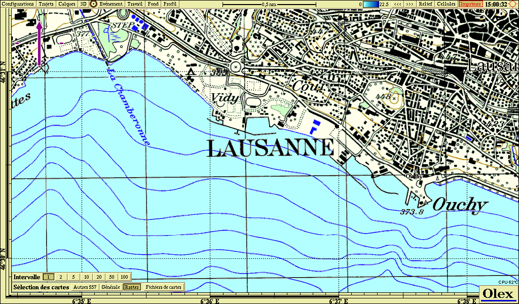
BSB chart in Olex · zoom
Aerial imagery: Bing, Saumur (FR)
Georeferenced file: 15,872 px x 11,264 px.
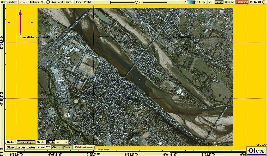
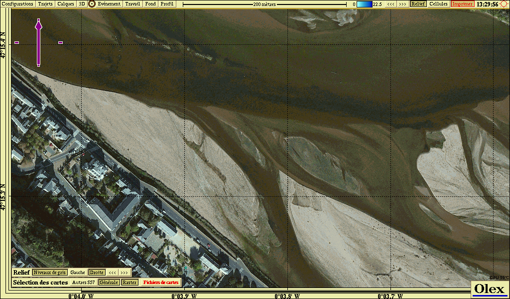
BSB chart in Olex · zoom
Combo: aerial imagery + bathymetry, Sierra Leone
Georeferenced file: 20,100 px x 15,616 px.
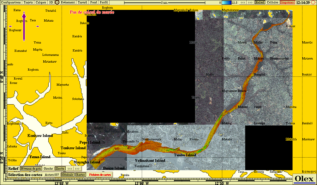
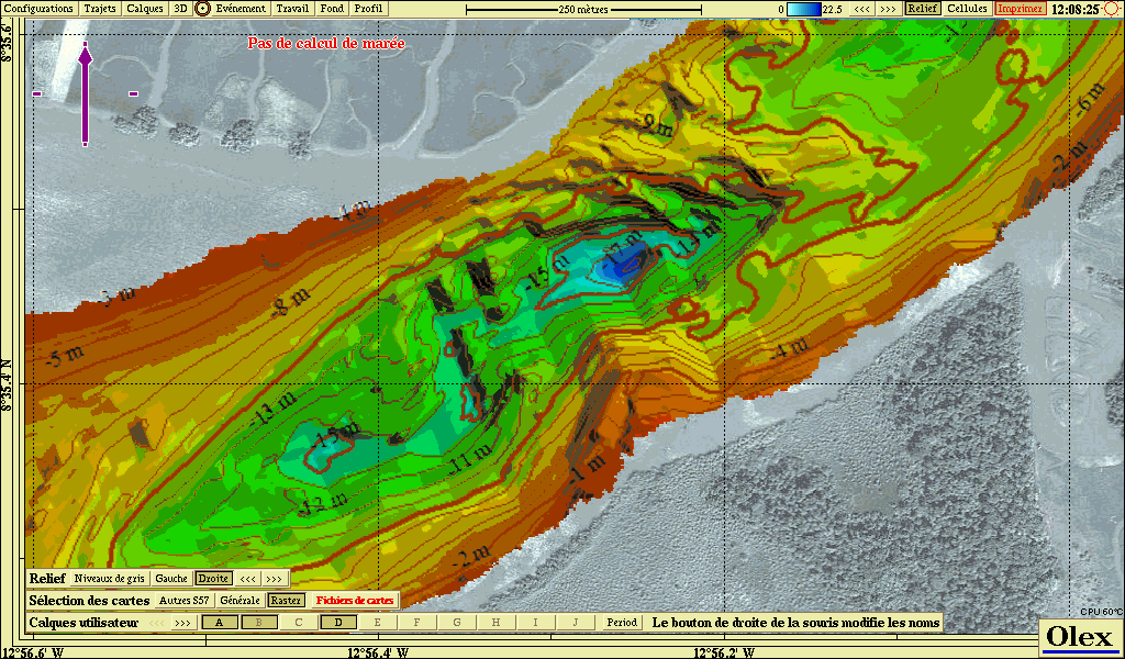
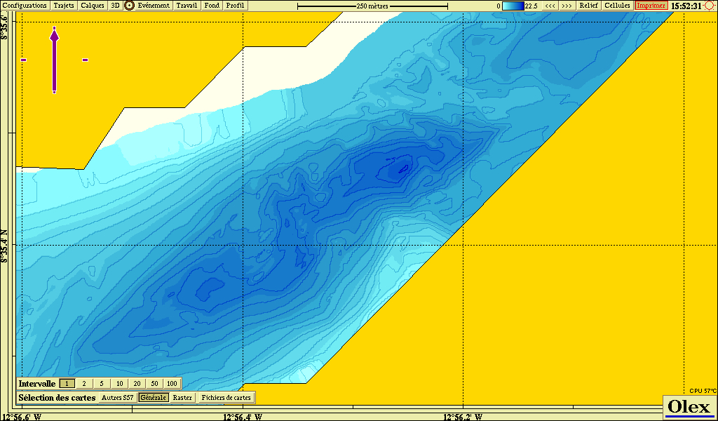
BSB chart in Olex · zoom · zoom with Olex bathy & general chart
For more information
Sales and technical service: sales@justmagic.com
Updated : October 2026