3D view
Since version 3.8, Olex has offered a 3D perspective that combines the classic 2D chart with a true three-dimensional view, making the underwater relief easier to understand.
Olex took up and integrated display modes devised by MIS in its Nautilus 3D software (page in French): a virtual object, moved by the user with the mouse, explores the seabed more dynamically and more precisely than the first Olex 3D view (the relief cut out inside a cube). This virtual ROV (remotely operated vehicle), fitted with a camera, gives a more realistic view, enhanced by a solid-surface rendering. Users freely choose their position on the 2D chart and see, in a separate 3D window, the underwater landscape from different angles.
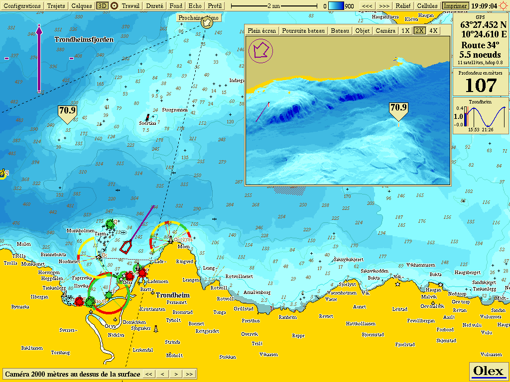 A different, complementary point of view
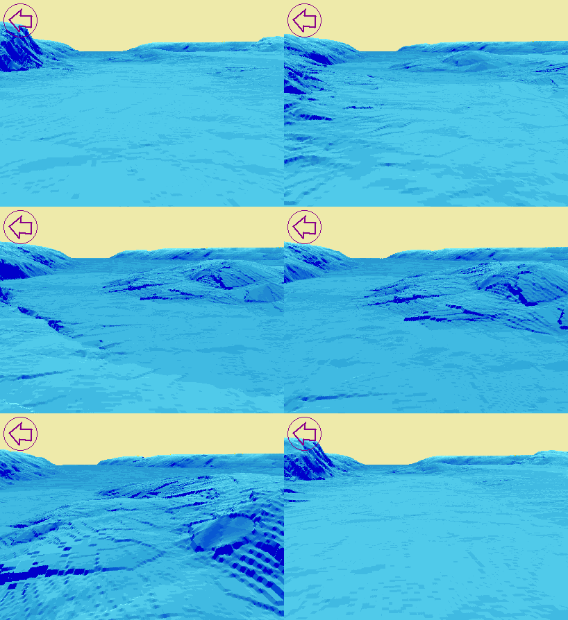 Underwater camera tracking shot, fly-through mode (animation)
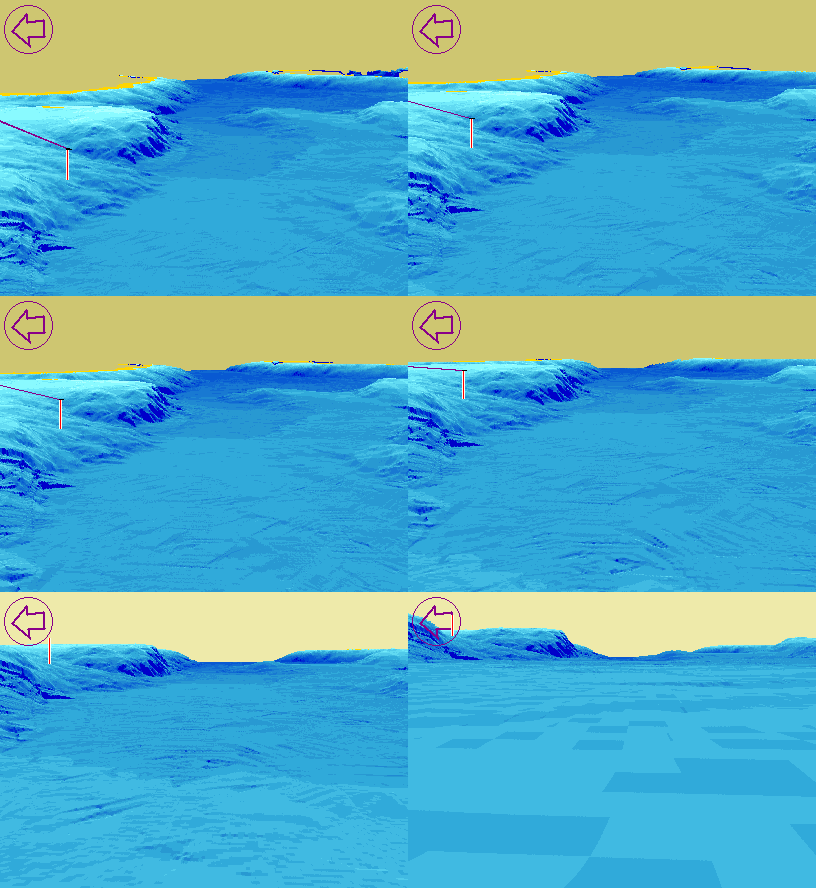 Camera a few metres above, then below the surface (animation)
Mouse control
The mouse is all that is needed to set:
- the camera’s degrees of freedom:
- movement over the 2D chart, for a fly-through in 3D;
- height above the seabed: close-up view near the seabed for details, pelagic view for a normal scene, sea-level view to extend the scene, or oblique aerial view to see beyond the horizon;
- orientation, towards the seabed or towards the sky;
- the 3D view according to the camera position: to the left or right, forwards or backwards, following the vessel, around a mark chosen by the user, or in free 360° rotation.
All the other tools remain available in this view: distance measurement with the bearing tool, highlighting of a depth range, vertical exaggeration…
What for?
This view is especially useful to:
- help locate wrecks;
- see sand ridges on the flat, shallow seabeds of the English Channel;
- highlight a depth range on a drop-off.
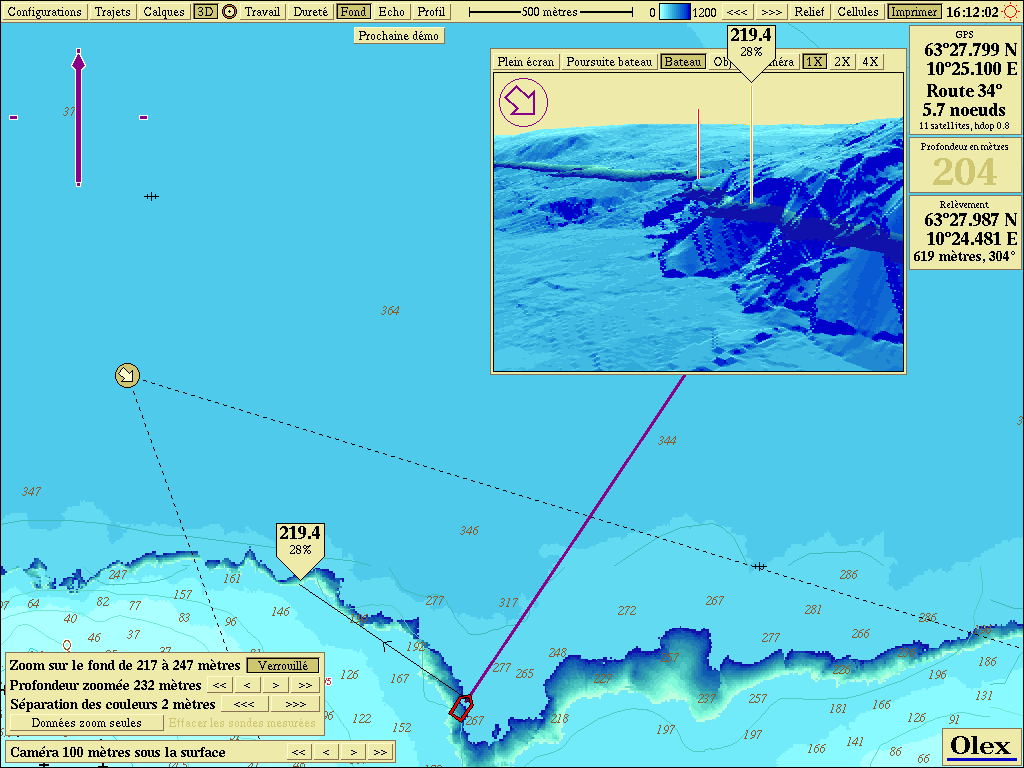 Highlighting a depth range
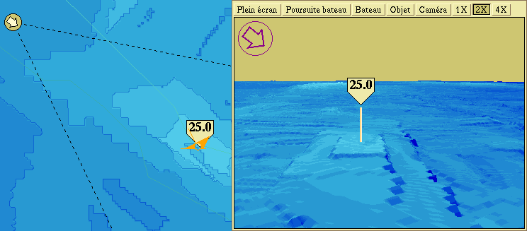 A wreck in the Bay of Biscay
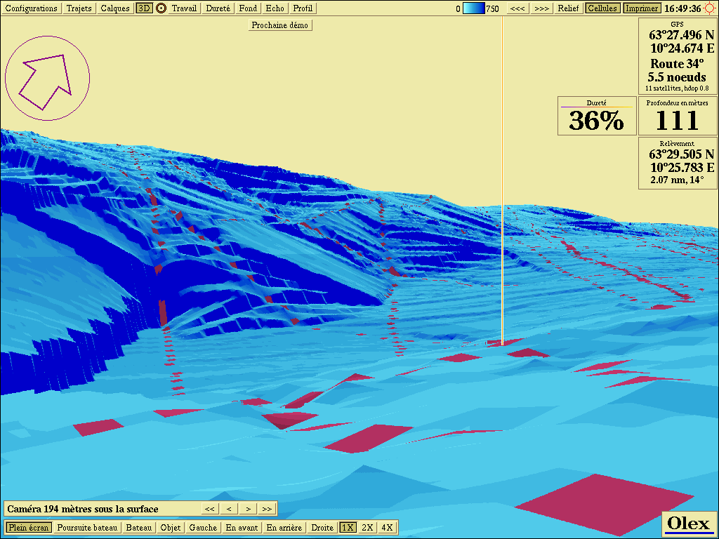 Full screen close to the seabed
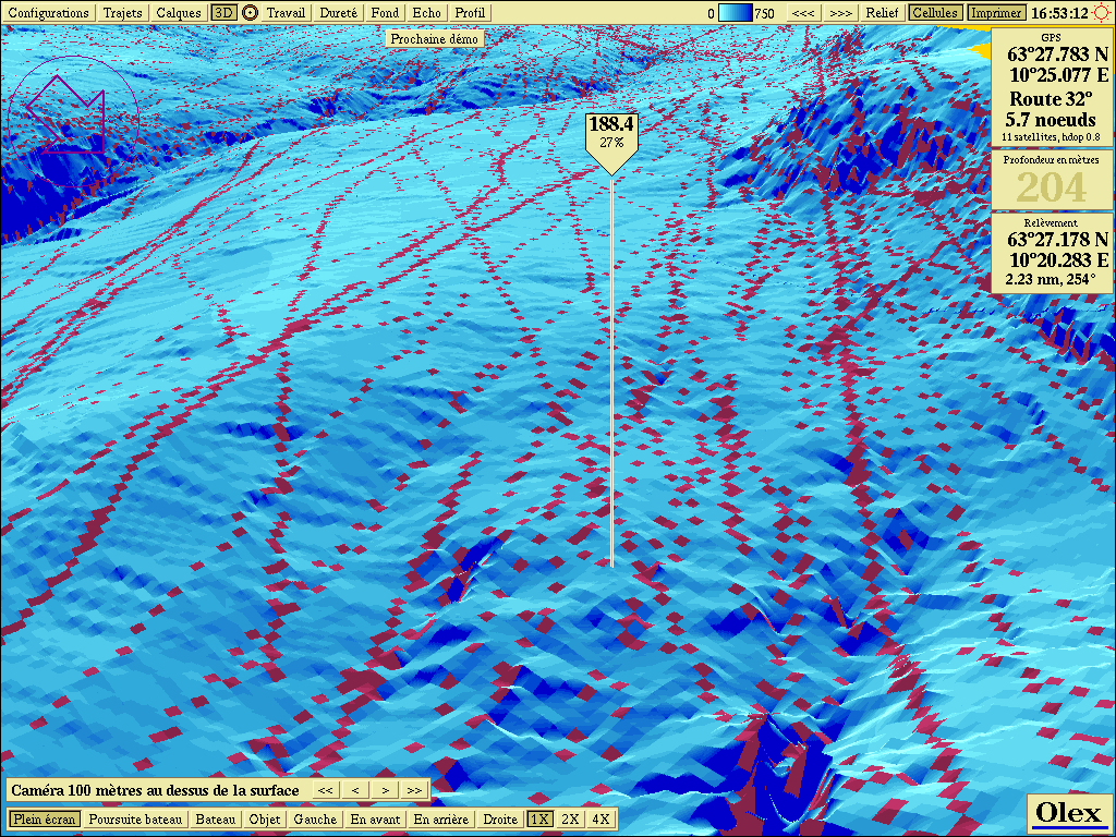 Full-screen panorama
Updated : October 2026