Wrecks, cables and S-57 charts
Olex can display on its charts information produced by various organisations. Because Olex uses an open, text-based file format, these data are easy to convert.
The sources below are those presented on the former website. These data change: check for updates on each organisation’s website, and contact us for the procedure to import them into Olex, in the WGS84 datum.
SHOM wrecks
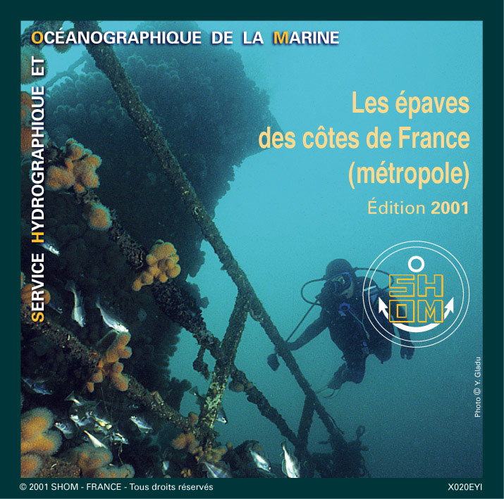
SHOM published a CD-ROM of the wrecks along the French coast. It describes the 4,000 wrecks and 800 obstructions recorded along the coast of metropolitan France. Depending on what SHOM knows, each record gives:
- the position;
- the name;
- the depth of the highest point;
- the characteristics of the ship and of the wreck;
- the circumstances of the sinking;
- other information, such as the depth and type of seabed nearby.
At the time of the former website, on presentation of proof of purchase of the CD-ROM from an approved SHOM dealer, MIS supplied the file used to import these data and display them on the Olex charts.
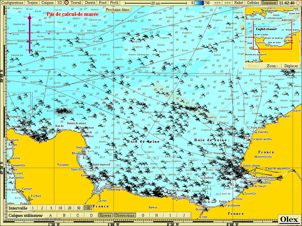 The SHOM wreck database
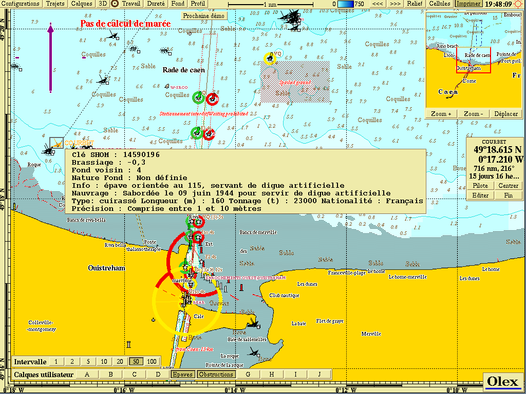 The characteristics of a selected wreck
Submarine cables
French coast: France Telecom’s SIGcables
France Telecom created the SIGcables website to inform fishing skippers about the routes of submarine cables, active or disused. Cable positions could be downloaded there in text format or in Olex format.
MIS updated this file in 2019: download the SIGcables cables in Olex format.
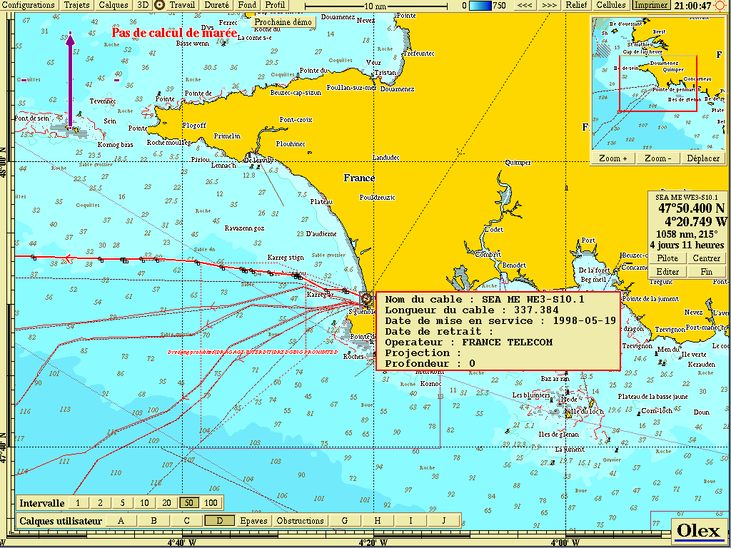 The position of France Telecom submarine cables
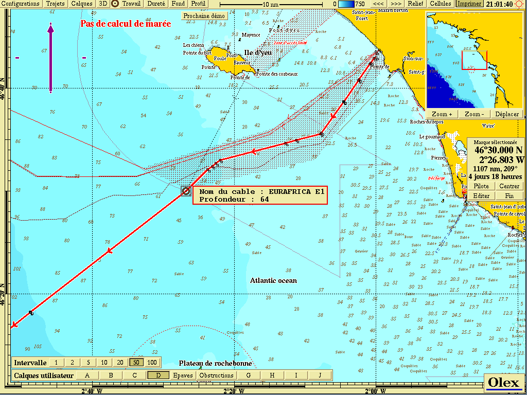 Cables, with their depth shown
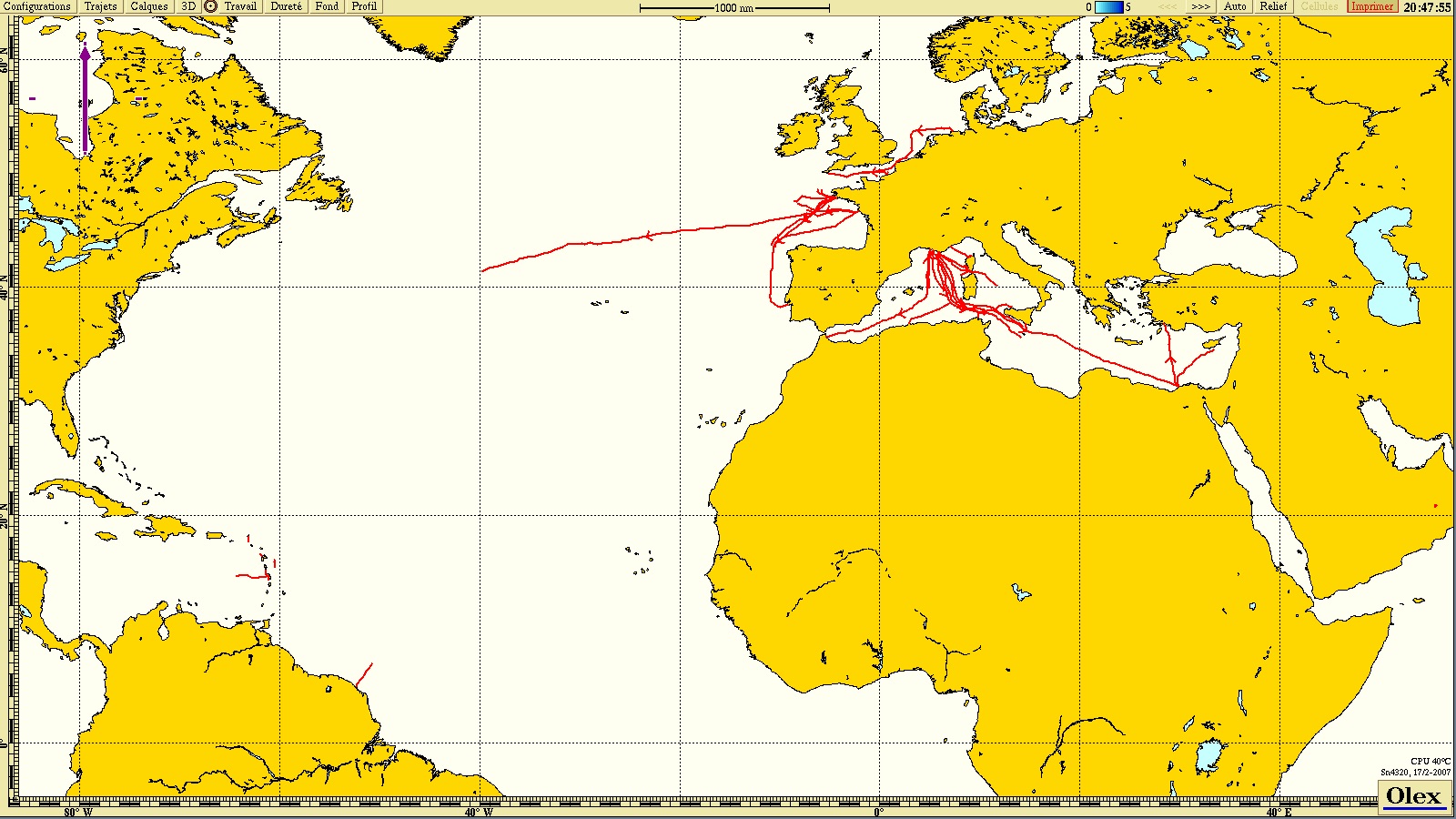 SIGcables cables, 2019 file
British coast: Kingfisher and KIS-ORCA
The British organisation Seafish, through its Kingfisher information service (KIS-ORCA), produces charts that help fishermen locate fishing grounds and avoid underwater obstructions.
A file in Olex format, updated in 2019 by the UK Cable Protection Committee (UKCPC), gives the positions of submarine cables: download the KIS-ORCA cables in Olex format.
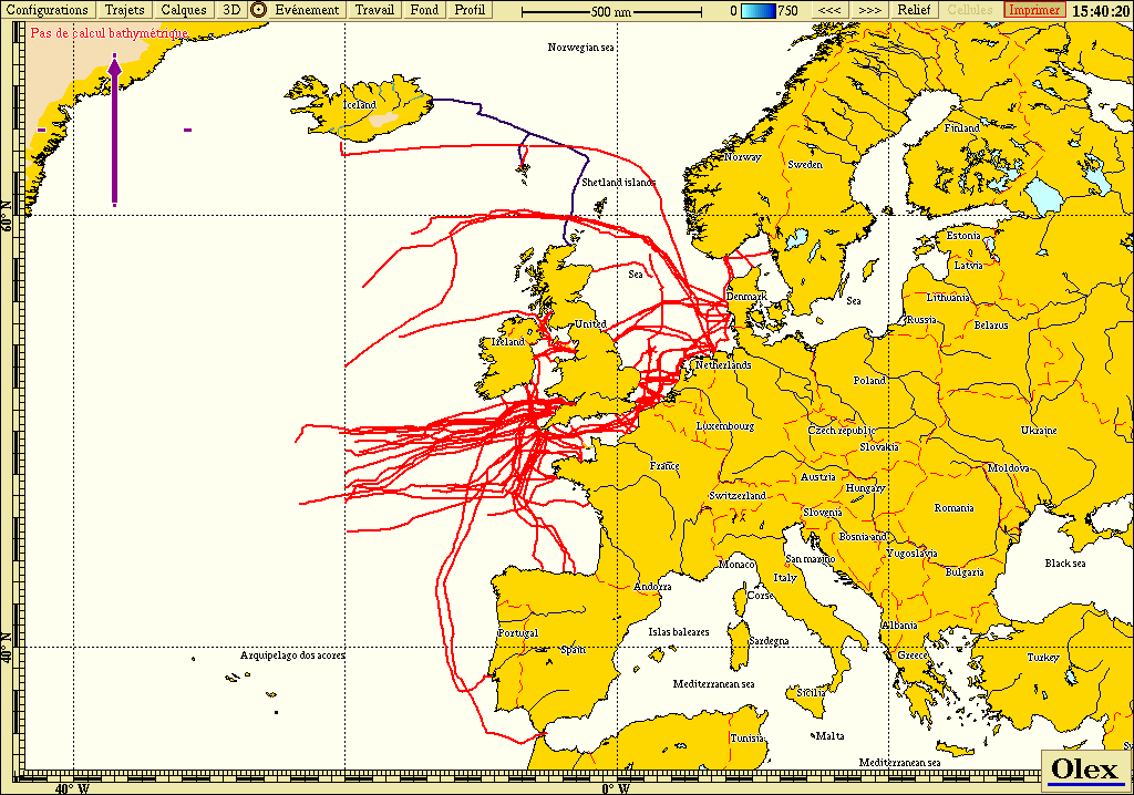 Cables published by Seafish Kingfisher
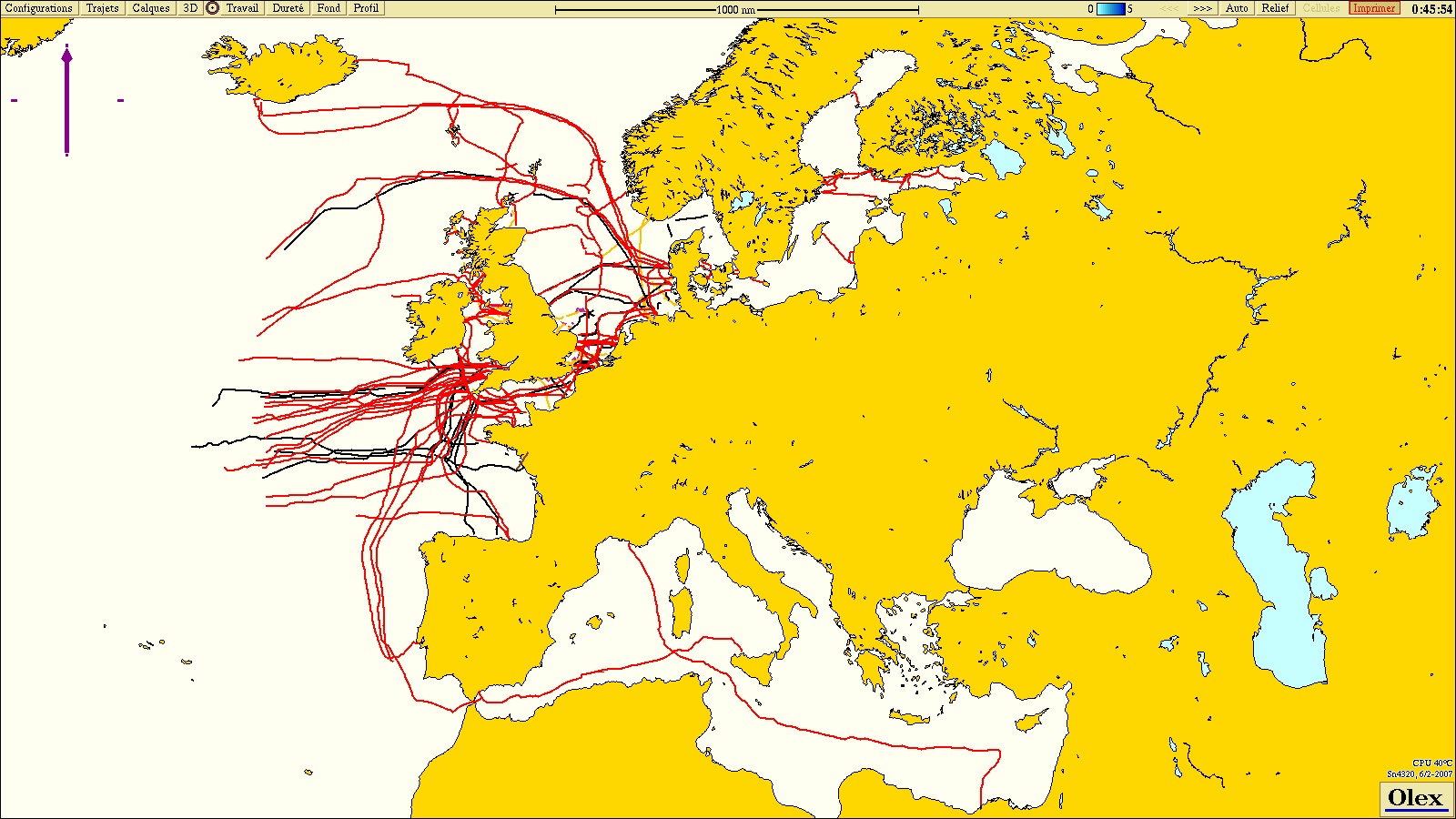 KIS-ORCA cables, 2019 file
Freely available S-57 ENC charts
US coasts: NOAA
Unlike European hydrographic offices, the US agency NOAA (National Oceanic and Atmospheric Administration) lets anyone download its official vector charts in S-57 format, ECDIS-compatible. They cover a large part of the US coastline and are updated regularly: see the NOAA ENC page.
Once downloaded, Olex loads them directly into its chart database, like any other S-57 chart.
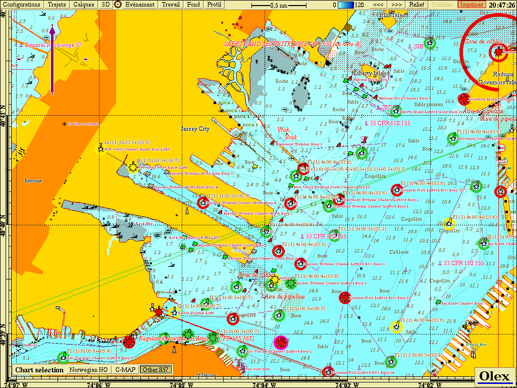 NOAA S-57 chart: New York harbour
Samples from hydrographic offices
At the time of the former website, the hydrographic offices that sell their ENCs in the protected S-63 format published samples of their charts in the open S-57 format: Australia, Japan, Canada, China (South China Sea), Thailand. The IHO also distributed S-57 and S-63 test data sets.
Inland charts (Inland ENC)
- United States: the research and development centre of the US Army Corps of Engineers offered charts of some US waterways (IENC, Inland Electronic Navigational Charts).
- Netherlands: the RIS service (River Information Services) was the first implementation of Inland ENCs in Europe, covering the Netherlands.
- Other European countries, with a few demonstration ENCs: Austria (DoRIS), Croatia (CRUP), Romania (AFDJ, lower Danube, Galați), Czech Republic (Elbe and Vltava), Serbia (Plovput: Danube and Danube-Tisa-Danube canal) and Switzerland (port of Basel, Rhine).
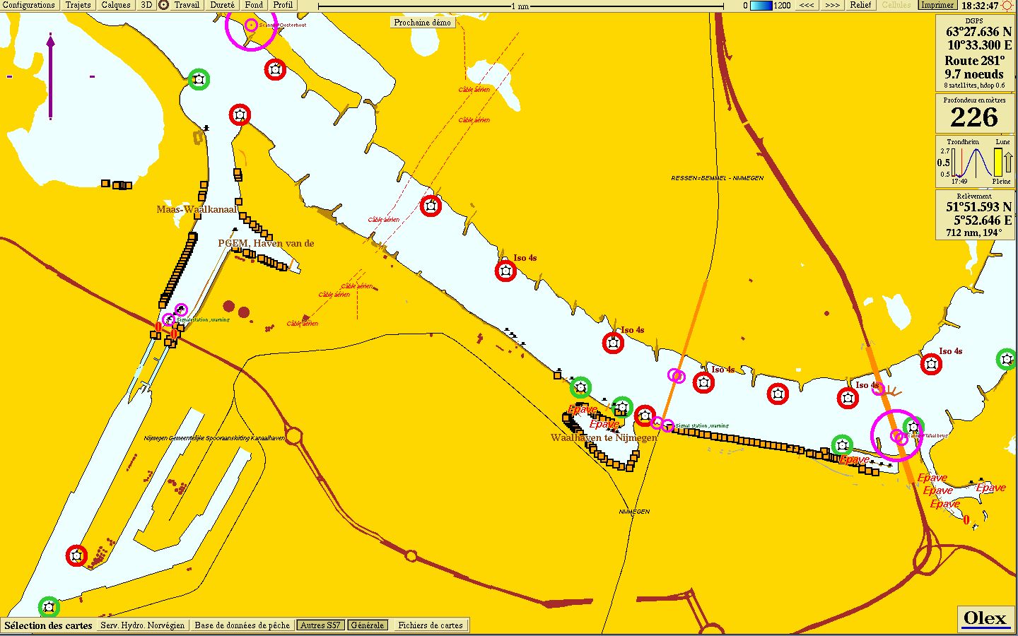 RIS Inland ENC chart, Netherlands
Updated : October 2026