User examples
The following Olex users lent us these screenshots, some of which were deliberately taken without a geographic reference. We thank them for their cooperation.
Fishing
The trawler Drake (Jégo-Quéré, Lorient)
Work on a terrace west of Ireland, using the New Zealand method of “parachuting” the bottom trawl.
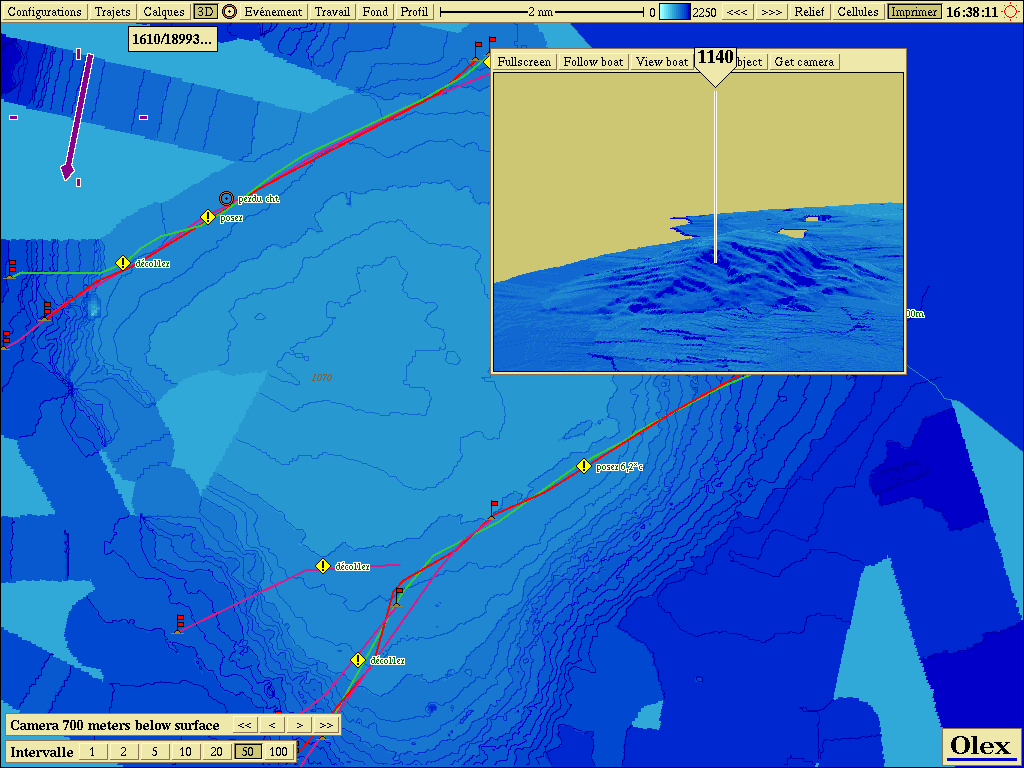 Trawler Drake: 2D view (terrace west of Ireland)
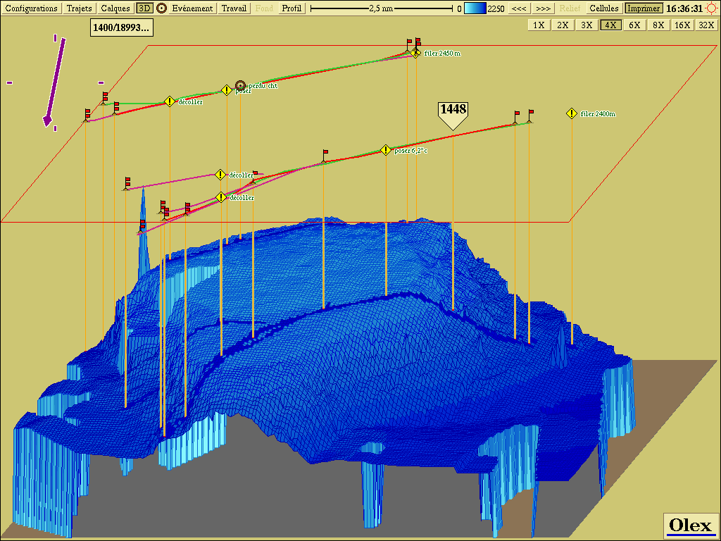 Trawler Drake: 3D view (terrace west of Ireland)
The trawler Actinie (Les Sables-d’Olonne)
Work on the Rochebonne plateau, off La Rochelle.
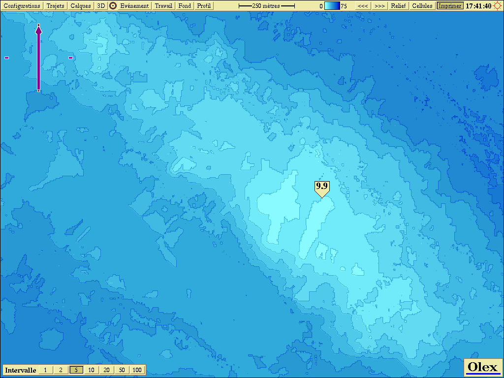 Trawler Actinie: 2D view (Rochebonne plateau)
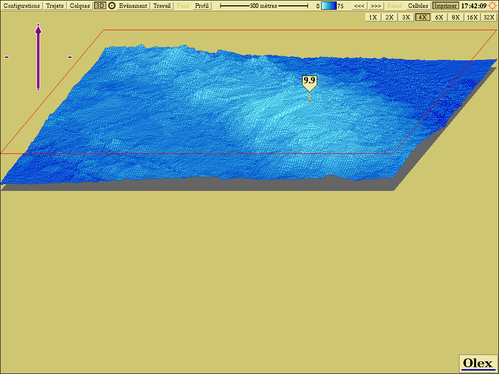 Trawler Actinie: 3D view (Rochebonne plateau)
Hydrography in lakes, rivers and coastal waters
Calligée: two reservoirs near Langres (summer 2003)
In summer 2003, the survey firm Calligée surveyed two reservoirs near Langres for one of its clients. The bathymetric cells were set to 1 m by 1 m and depth was measured with a Tritech PA-200 altimeter. The surveys produced a digital terrain model (DTM) as xyz data, converted to Lambert II coordinates.
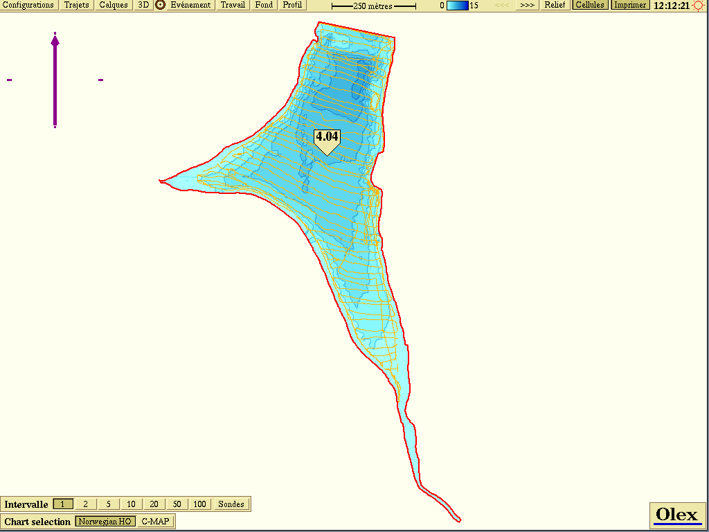 Calligée: 2D view of the surveys (1 m by 1 m resolution)
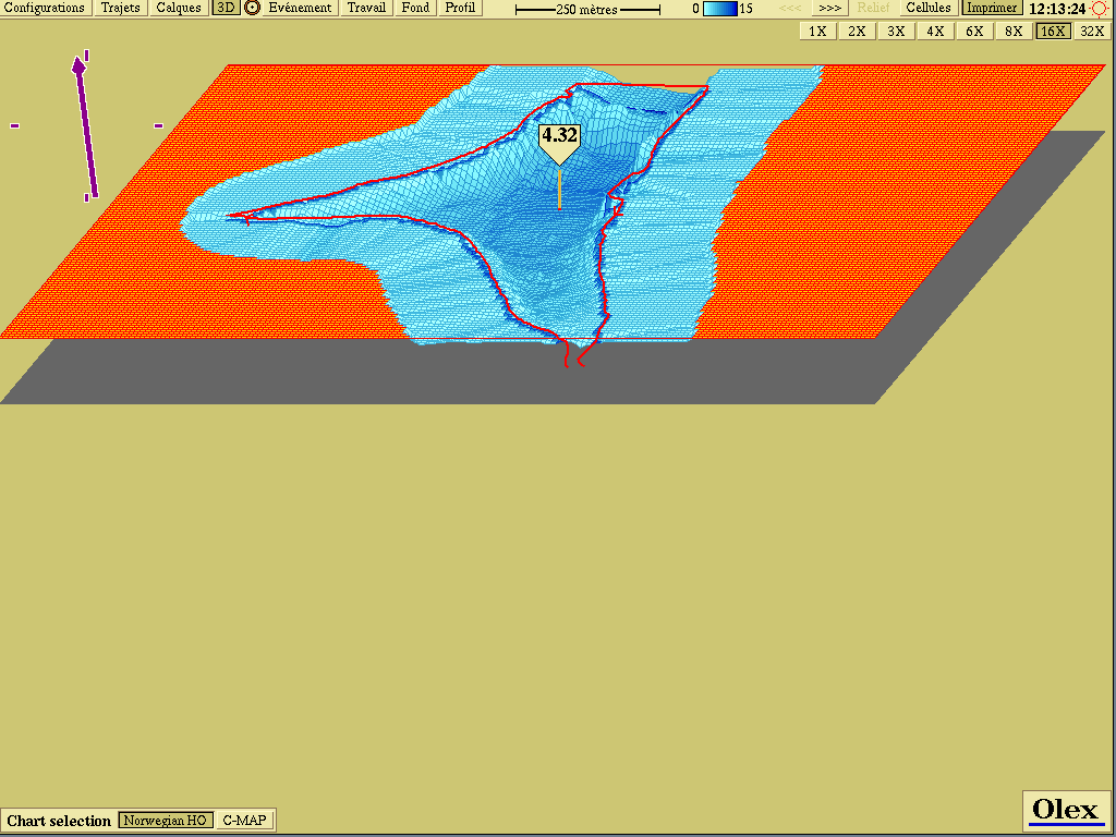 Calligée: 3D view, vertical exaggeration × 16
Calligée: two reservoirs in northern France (winter 2004)
In winter 2004, Calligée surveyed two more reservoirs in northern France, near the Belgian border.
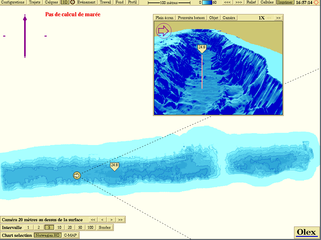 Calligée: 2D/3D view (1 m by 1 m resolution)
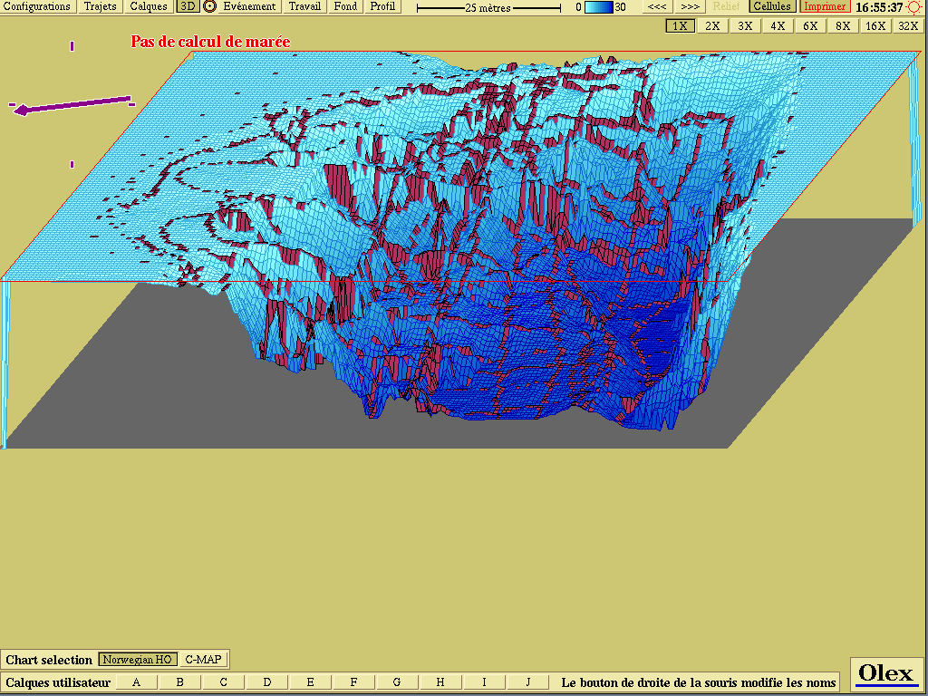 Calligée: 3D view
The Loire, with the Nantes maritime and navigation service
MIS carried out sub-metre river bathymetry trials on the Loire with the Service maritime et de navigation de Nantes. See the report Bathymétrie fluviale avec Olex (PDF in French, 1.48 MB).
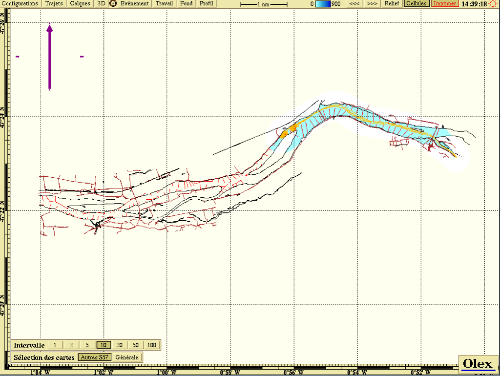 Conversion by MIS of a DXF chart to S-57 format
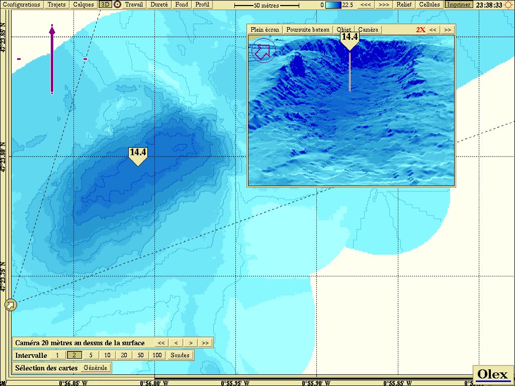 River bathymetry on the Loire
The Basque coast, with the Itsas Bellara
Bathymetry produced by the boat Itsas Bellara off Saint-Jean-de-Luz, with a Furuno GP320B active GPS antenna and a 235 kHz Airmar Smart Sensor active transducer.
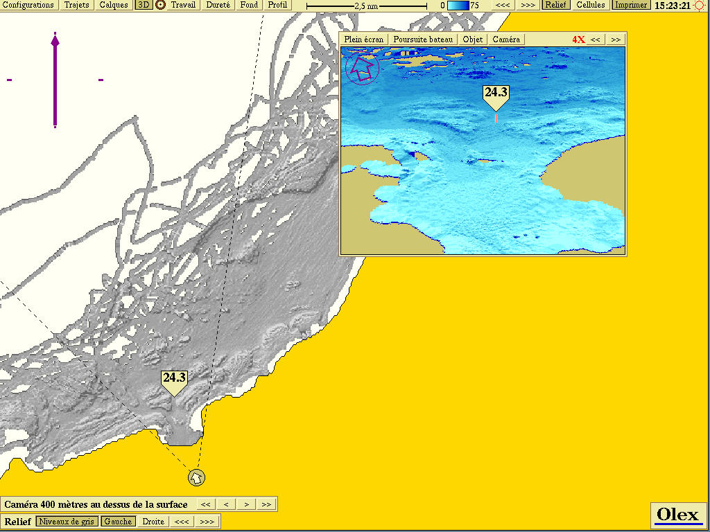 2D bathymetric view of the Basque coast
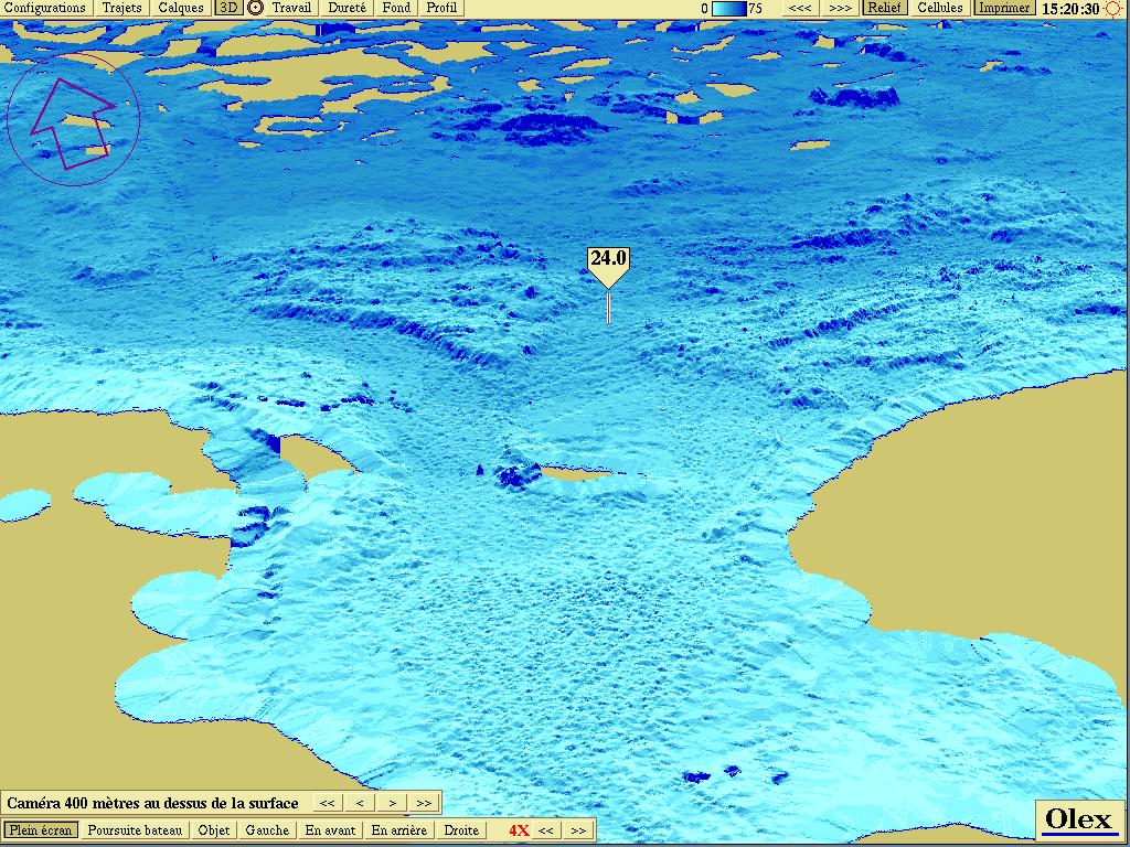 3D bathymetric view of the Basque coast
Lake Geneva, with the lake navigation police
Bathymetry of Lake Geneva produced in 2005 with the lake navigation police (Geneva) and the company Scanlac. This work was featured in a report by Swiss French-language television (TSR).
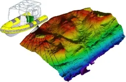 3D bathymetric view of Lake Geneva
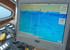 Report by Swiss television (TSR)
Olex in the Amazon
Olex, installed on a laptop with a Simrad chartplotter and echo sounder, was used to explore the bed of the Amazon during the filming of the BBC documentary Amazon Abyss. See Steve Sargison’s article in Oceanology Today, spring 2005 (PDF).
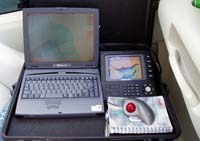 Installation on a laptop
Imported bathymetry
Olex is first and foremost an acquisition tool: it builds bathymetric charts live from the ship’s sensors (GPS, echo sounder). But it can also import xyz bathymetric data recorded by other systems. Its only limit for storing billions of soundings is the size of the hard disk, which makes Olex a very powerful 2D/3D viewer for very large bathymetric data sets, whatever their resolution.
The wreck of the U-735 submarine (Olex AS)
Olex AS, the company that develops the software, used the data from the Simrad EM3000 multibeam echo sounder of the AUV NUI Explorer to clearly show the wreck of the U-735 submarine, sunk by the RAF in 1944 off Horten, Norway.
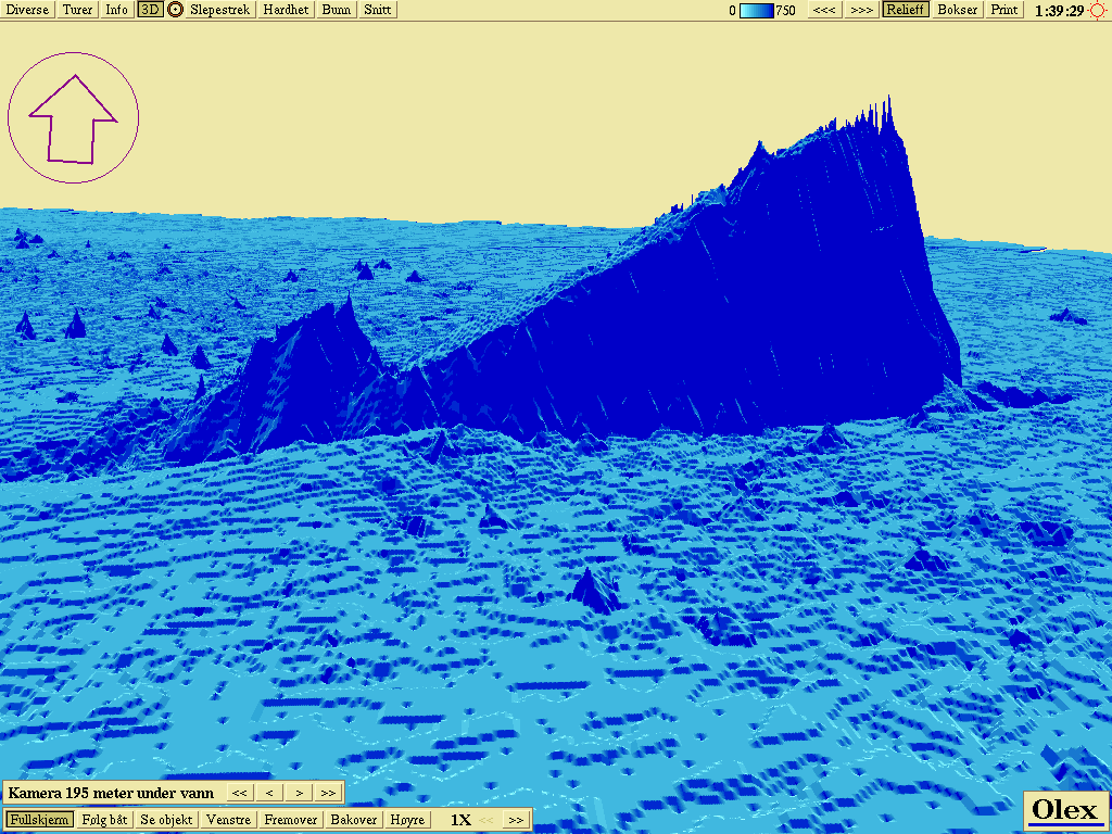 Olex AS: 3D view of a submarine wreck (depth: 170 m)
French fishing boats
Compilation of the bathymetric data of several dozen fishing boats equipped with Olex in France.
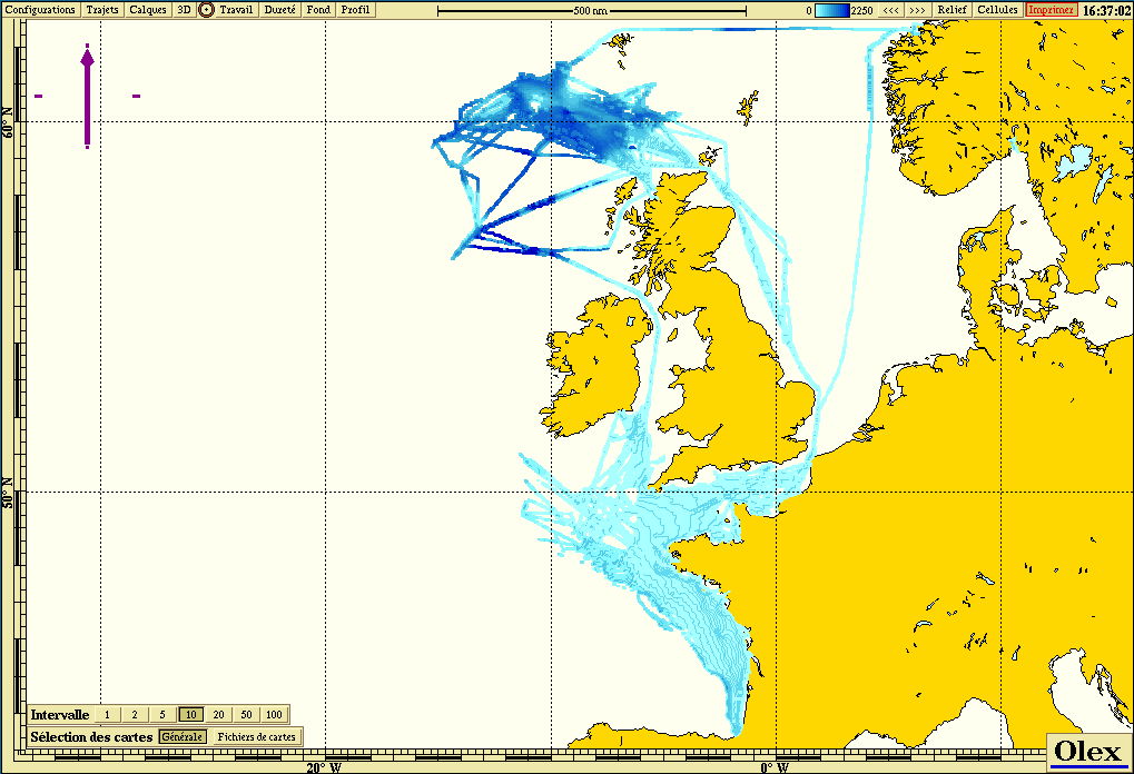 Overview
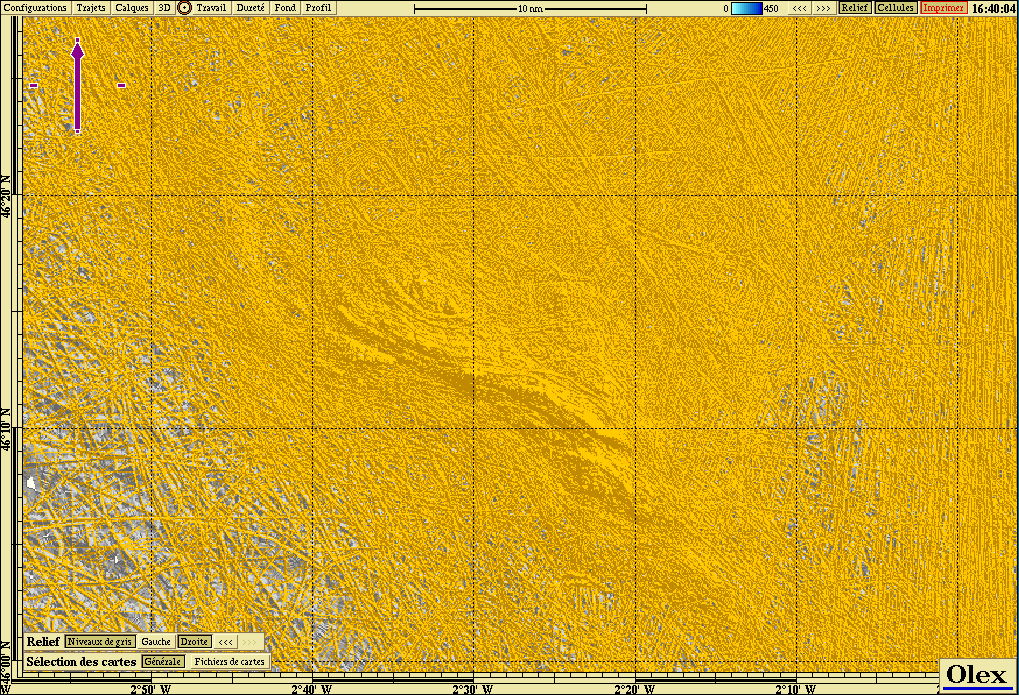 Detail of Rochebonne
A composite bathymetry of the United States (MIS)
MIS compiled a composite bathymetry of the US coasts from public data found on the Internet: NOAA (multibeam, S-57 soundings, estuaries), universities (CSUMB, UNH)… More than a billion soundings were imported into Olex, at a resolution of 5 m by 5 m.
The work consisted mainly of converting data in different formats (XYZ, SHP, GRD, DEM…) and different georeferencing systems (UTM type) into xyz text files (latitude, longitude, depth) readable by Olex.
Note: these sources do not share the same vertical datum. Most often, in coastal areas, depths are given relative to mean lower low water (MLLW). All the data were nevertheless integrated as they were, without any offset correction, with mean sea level (MSL) as chart datum: hence an absolute error of a few tens of centimetres near the coast.
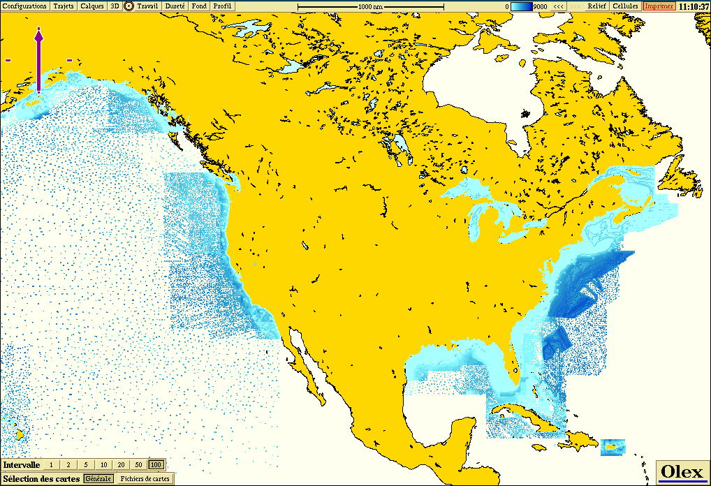 Overview
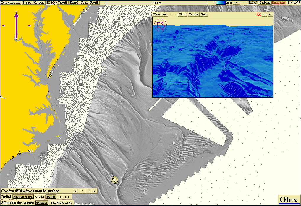 Details
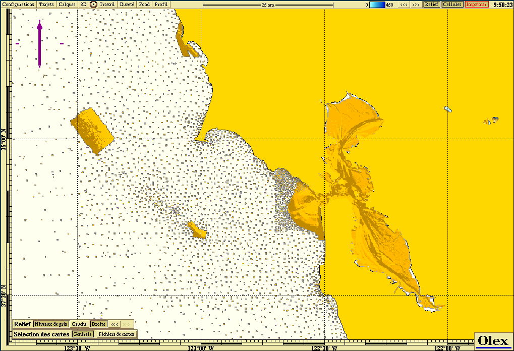 San Francisco: overview
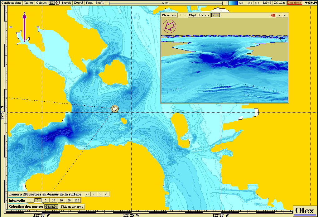 San Francisco: details
Ireland, with GSI data
450 GB of bathymetric data from the GSI (Geological Survey of Ireland) were converted and then imported directly into Olex, at metre resolution.
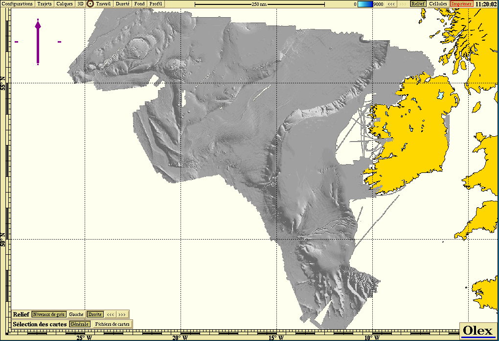 Irish continental shelf: relief
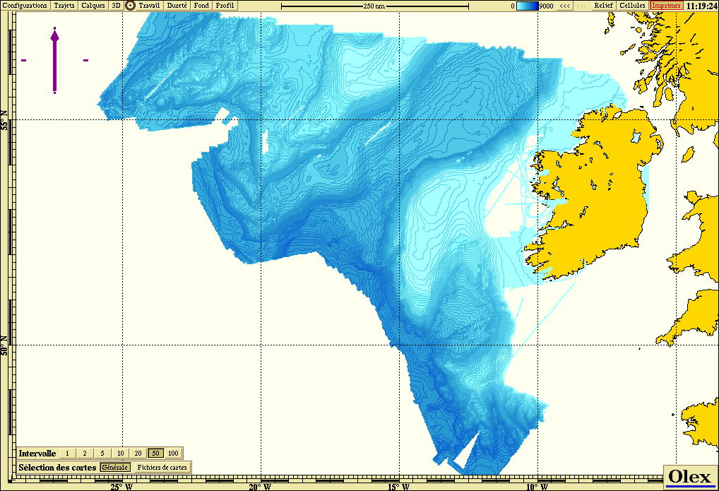 Irish continental shelf: isobaths
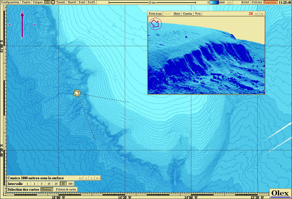 Detail A
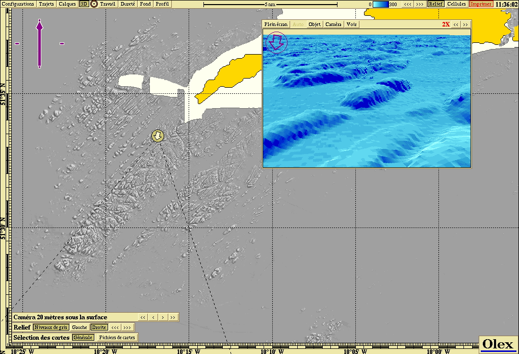 Detail B
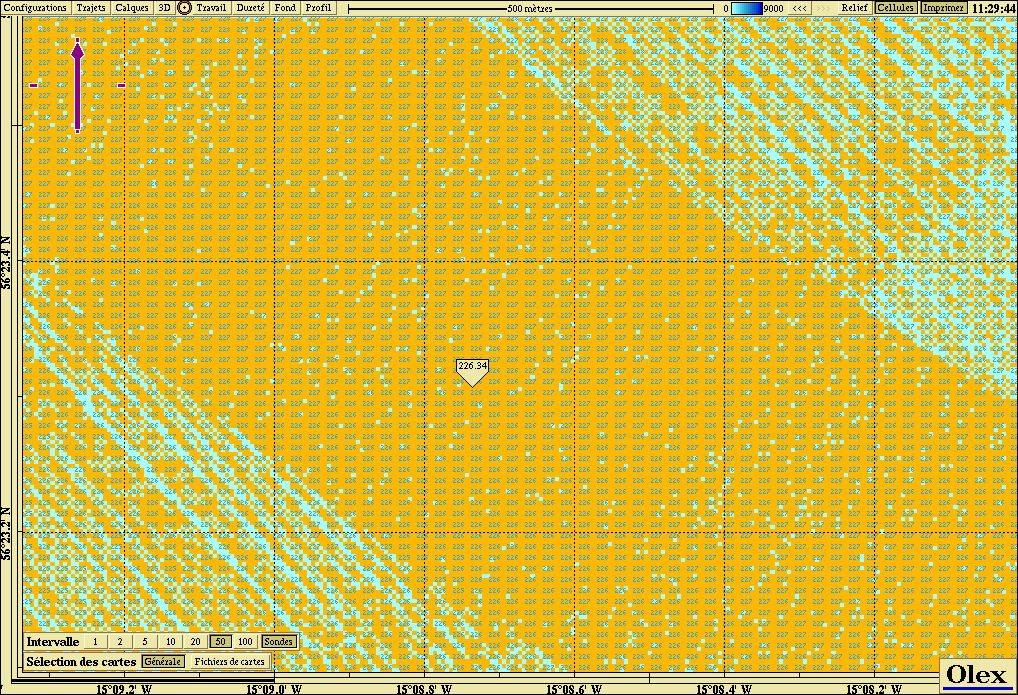 Detail C: the bathymetric cells
Ifremer data
The Ifremer digital terrain models imported into Olex are shown on the Comparison page.
Updated : October 2026